Protected landscape area Vihorlat
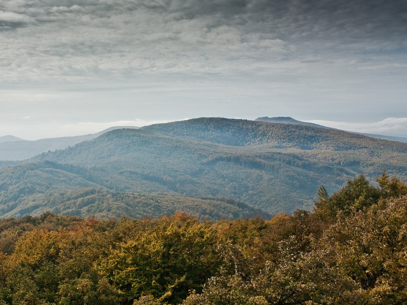
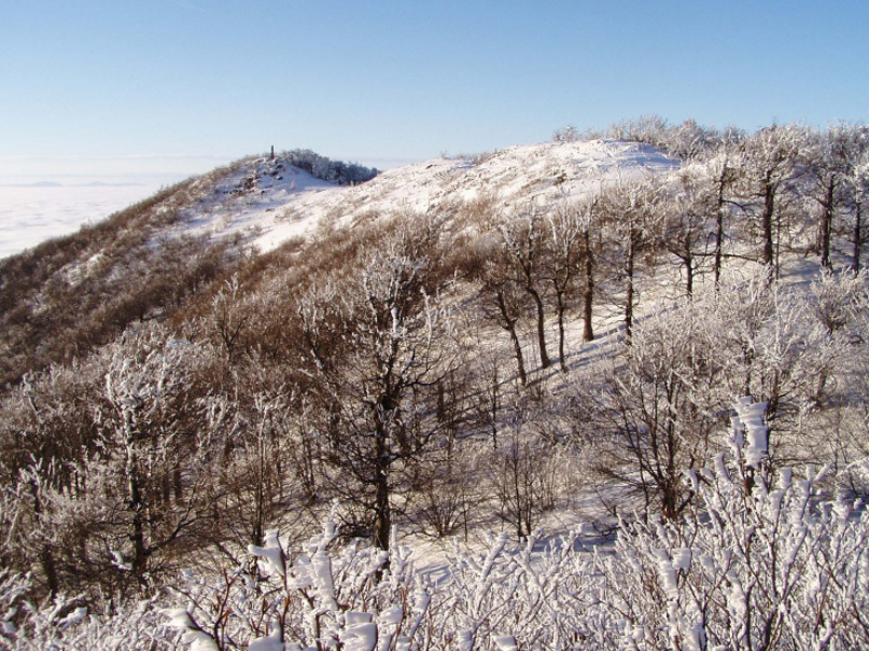
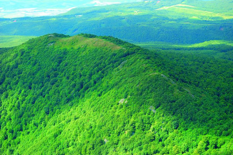
By degree nr, 111/ 1999 Collection of Laws of ministry of Emviroment SR from April 19th 1999 the region of Vihorlat was declared the national landmark region. With total area of 17485,2428 ha within district of Sobrance, Humenné and Snina. Vihorlat belong to the most forested mountains in Slovakia with majority of deciduous beech trees.

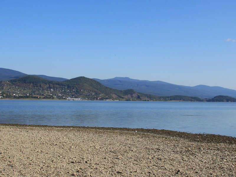
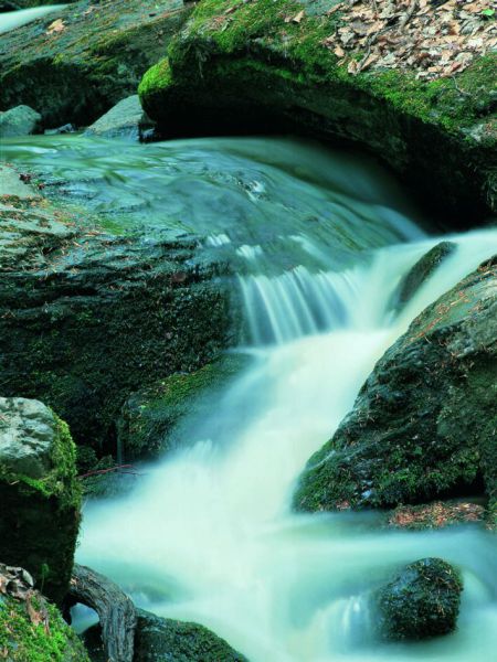
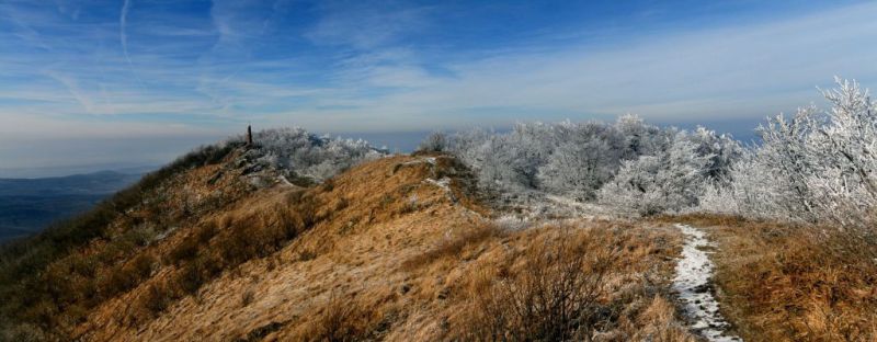
This region is principal in water and forest regulation. It is a main source and regulator of water supply. Additionally it serves as major recreational and tourist route. It is situated near popular summer resort Zemplinska Šírava Vositor o the national landmark can also enjoy educational trails at Morské oko, snínsky Kameň and Snínske rybníky. Vihorlats highest peak is Nežabec (1023m).
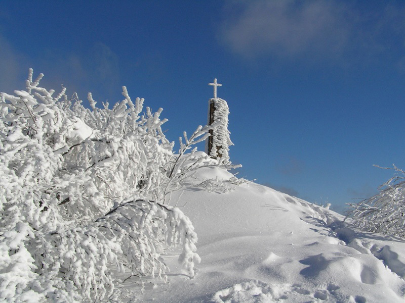
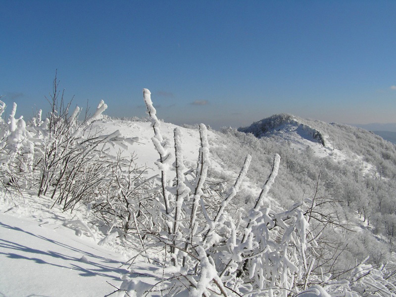
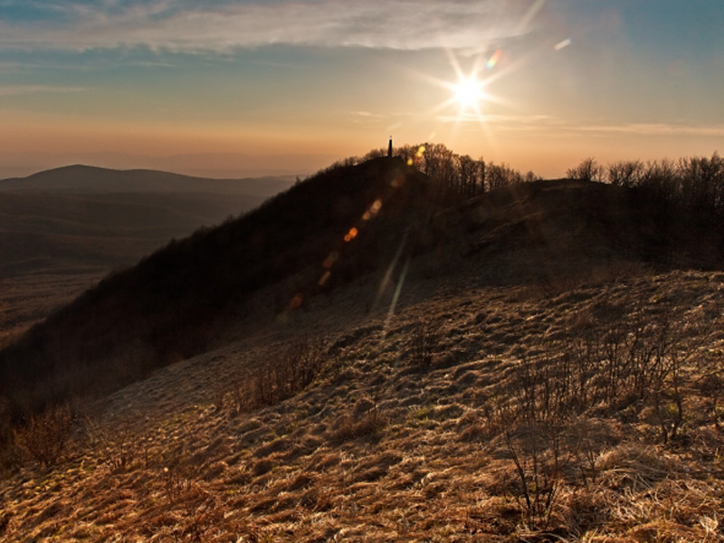
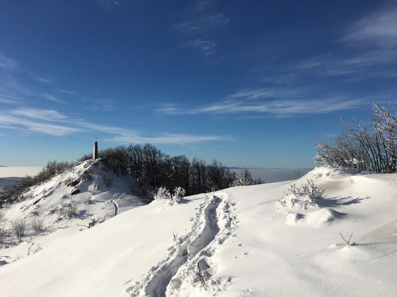
Vihorlat (1076 a s. l.) Is the highest peak of the volcanic mountain range Vihorlat hills. On the slopes of the hill lies the PLA Vihorlat. On the north side of the hill is a military district Valaškovce, so the top does not lead no official hiking trail. From the top are good conditions for hang gliding.
Vihorlatské vrchy (Vihorlat mountains)
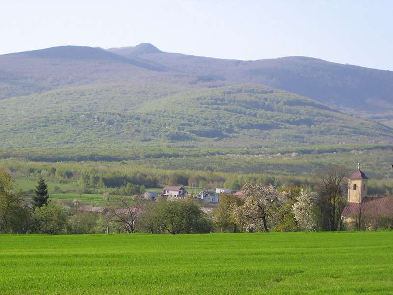
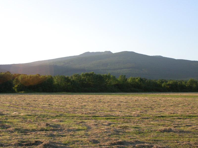
Vihorlat Mountains (abbreviated and Vihorlat) is a mountain range of volcanic origin, landscape unit Vihorlatská-gutínskej area, which extends to the east of Slovakia. Its territory is protected landscape area Vihorlat. Vihorlat Mountains in southern and western borders of the Eastern Slovak Hills, north of Bukovské Hills, Laborec Highlands and Beskydské. Vihorlat Mountains sharply emerges from the Eastern lowlands. While the peripheral part of the Eastern lowlands reach 250-300 m n. m., the peak of the Vihorlat exceeding 1000 m n. m., making vertical elevation range up to 800 m.
Mladovulkanické mountains in Slovakia emerged late Tertiary. In Vihorlat volcanic activity started later, about 15 million. years, and binds to the emergence of deep faults, which have opened the way input volcanic material. To break this system are all major centers of volcanic mountains - from marine eye, the conclusions Porubského Sokol and creek at the top Vihorlat and on top of Kyjov. Highest mountain, as Vihorlat, United punishes Motrogon, Scobie, Tower and others, were created in the last stage of volcanic activity before about 9 million. years and are made up mainly andesites.
The volcanic activity in Vihorlat is played out largely in subsiding area and only at a later stage was highlighted throughout the mountains high above their surroundings. As a result, in most of not meet the typical volcanic relief, such as volcanic cones, etc., There was a great spot break-erosion-form expressions of the volcanic construction.
Although one of the youngest Vihorlat mountain range, its surface is significantly destructed. Initially higher peak is due to extensive erosion and frequent landslides gradually reduced. Numerous slope streams carried away soil-forming material and the bases of slopes created huge alluvial cone. Exposed lava flows will disintegrate on large stone blocks and stone seas.
Forest management
During the last few centuries Vihorlat Mountains cover natural forests (forests), in which plant and animal species have a long way adapted to living together in certain environmental conditions that are mutually influenced and formed an indivisible whole with the environment. This forest was still tree species composition was resistant to adverse biotic and abiotic environmental influences, had good water management and climate effects, be healthy, beautiful and does not need human care.
While it was common production at a low level of development, providing natural forest indigenous peoples everything from him for their economic activities needed social production is still increasing. In addition to wood for construction and fuel wood has increased the need for mining, metallurgy, glass, and so the pressure on natural forests Vihorlatu grow. Significantly reflected in an easily accessible low-lying stands where natural forests were replaced by commercial forests with original tree species or non-native trees planted Vihorlatu, for example. spruce.
Quite a long time remained intact natural forests in hard to reach the peak of the mountains. A unique stray mining for construction and fuel, burning charcoal, mainly beech, potash production and so not yet significant intervention in the natural structure of forest stands.
18th and 19th century is characterized by a general lack of wood. After exhaustion of stocks in low-lying stands Vihorlatu the onslaught begins and the previously inaccessible stands, especially after they went into the woods The local family property Széchenyi - Vanderbiltovcov. Establishing forest railway Sobrance - Sea eye began to natural forests in the adjacent portions intensively converted into commercial forests where native plants, while natural way to restore, but natural forests are preserved only in extreme sites on small surfaces.
Mining and iron mongery
Napoleonic Wars in the early 19th century brought a boom ironongery. Price of iron rackeded iron and steel products was impetus for the establishment of new mills, steel mills and ironworks. Most relevant between the newly established small ironworks ironworks were in Zemplínske and Sobrance. Initiative to establish Zemplinske Hamre gave Stefan Rholl, who came here from the file and give the mountains in search Vihorlatu gold and silver. The search result has iron ore and silicates on the northwestern foothills of Snina stone. A survey in the forest did Hutman that shows where you start digging a tunnel. First, they dug a pit and then from the sides of mined iron ore. The resulting pit, the tailings showered. The forest was mined and a flux. The extraction of ore stopped here until 1904.
n addition to ore veins gave Cainozoic volcanism in Slovakia and non-metallic materials. In Vihorlat are the most used andesites. At the moment of extraction in a quarry in Zemplinske Hamre.
Roads
In the past forestry in the region was scattered. Before WWII there was a limited network of forest roads. Exploited wood was gathered by gravity operated or horse pulled wagons over well known teamster’s trails. These trails were narrow so that they would not alter the landscape. With growing demand for wood these old ways were no longer sufficient.
Railway
Railway served for transportation of charcoal and hardware products. It also transported nobility passengers on their trips to Vihorlat forests. In 1939 a new track was build from Morské Oko lake through Remetské Hámre to Vyšná Rybnica. Empty wagons used for transport of logs with bark and stacked timber as well as wagon with workers were pulled uphill by steam engine later replaced by diesel engine. Loaded wagons would be propelled downhill under their own weight. Occasionally a forest draisine was also used. Chief machinist on route to Remetské Hámre – Morske oko was Anton Kudelas.
Fotoalbum k článku
Súvisiace články
CHKO LatoricaChránená krajinná oblasť Vihorlat
Cycling routes
Cyklotrasy
Educational trails
Industrial monuments
Kerékpárutak
Latorca Tájvédelmi Terület
Morské oko
Morské oko (Sea eye)
Műszaki emlékek
Náučné chodníky
Sninsky kameň (peak)
Sninský kameň
Szinnai kő
Tanösvények
Technické pamiatky
Tengerszem-tó
Tourist routes
Turistické trasy
Túraútvonalak
Vihorlát Tájvédelmi Terület
Vinianské jazero
Vinnai-tó
 Zväčši