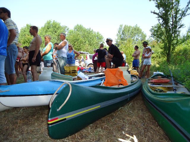
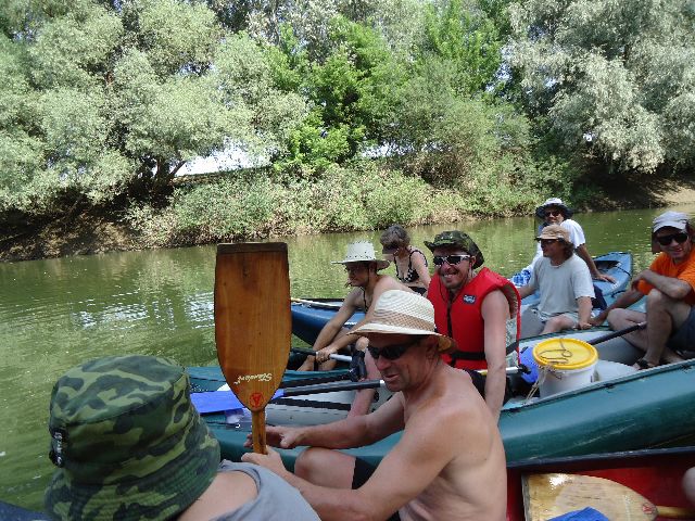
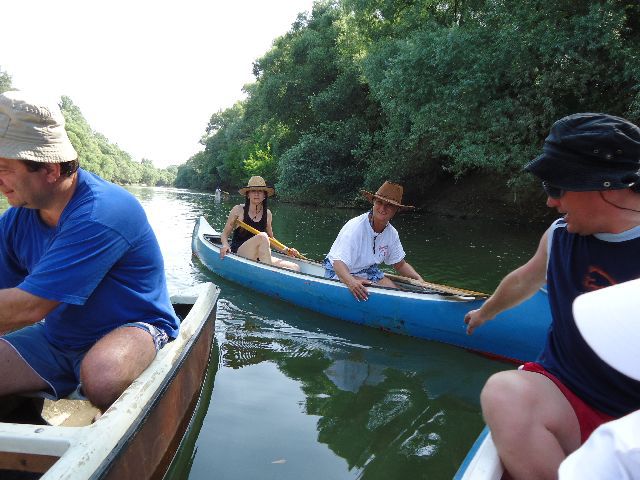
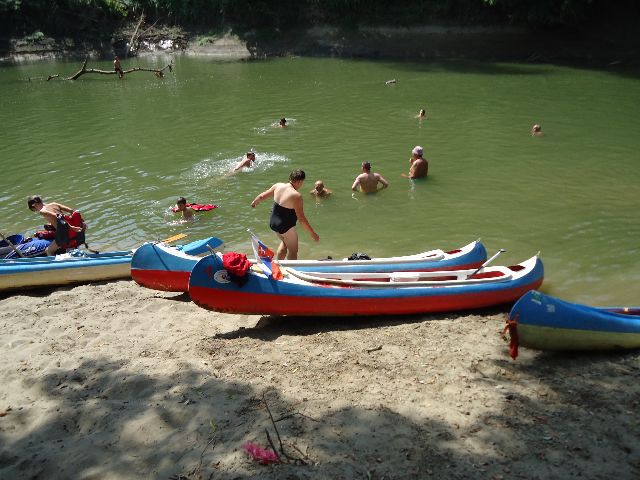
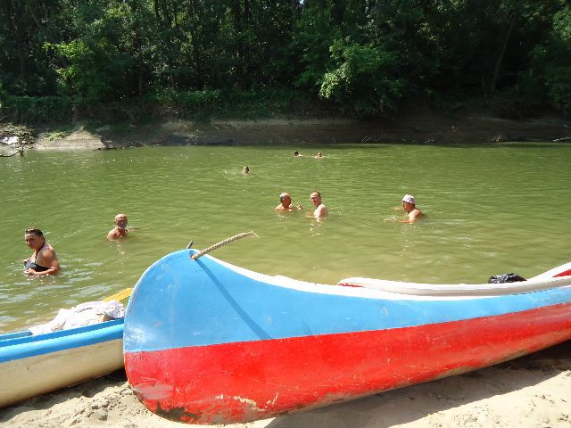
Watercourses and rafting
Laborec
Laborec river is an emblem of Zemplin region, It flows across it from South to Noth. Laborec river is 129 km long with spring in Lower Beskyd in Slovakia at 682 m.a.s.l. . On it course it takes in mously left tributories Výrava, Undava and Cirocha with create a fan of of watercourses Further Laborec lows around Vihorlat and continues to lowlands where in descents intu a left tributory of Uzh.
From Strážske to its mouth Laborec is navigable for easy water tourism Section from Radvaň nad Laborcom to Humenne and farther to Stražské is more interesting for rafting enthusiasts. In order to navigate is they need at least 80 cm at water gauge in Koškovce.
By means of their tributaries Ondava drains Bardejov, Svidík, Stropkov, Vranov nad Topľou, Medzilaborce, Humenné, Michalovce an Trebišov regions. Together with left tributory Latorica creates confuence Bodrog near village Zemplín in 94,5 m.a.s.l. Ondava is the 8th longest river in Slovakia flowing frough Ondavská Highlands Beskyd foothills, Eastern Slovak Hills and Eastern Slovak lowlands.
From Svidník river is navigable for state of 90 cm water gauge at the bridge from Stropkov is navigable when the water gauge in Stropkov is at least 50 cm. Section under dam Domaša is navigable throughout the year in state of 161 cm at the water gauge in Hencovce.
Uzh
Uzh is left tributory of Laborec. It is 127 km long from which only 21,3 km is on Slovak territory. It springs in Ukraine in Eastern Carpathians. Uzh is typical lowland river if flows through Eastern Slovak lowland forming large amounts of river sediments and creating a number of dead arms.
Latorica
Latorica together with Ondava forms the Bodrog river. It has a total length of 188 km and drains area of 7,700 km² area, while in Slovakia measured 38 km and the catchment area is 2,486 km². Latorica is in our country a typical lowland river, creating a large number of meanders, blind branches and river islands. On Slovak territory flows through Latorica, area of floodplain forests and marshy meadows.
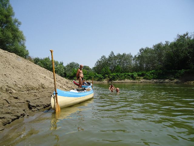
Latorica qualifies for rafting and water for demanding tourists. Although the adrenaline does not overcome the white water sections, but will impress any lover of peace, tranquility and wilderness.
Bodrog
Bodrog river is a confluence of Ondava and Latorica near village Zemplín. It is the right tributory of Tisa. Bodrog crosses Hungarian border near municipalities Klín nad Bodrogom and Borša. Bodrog is the only eastern Slovak waterway navigable by most ships. Depending on water predictions it depth may reach at least 230 cm Bodrog river leaves Slovakia at the lowest point of Slovakia 94,3 m.a.s.l. Bodrog river is navigable on Slovak and Hungarian side.
Tisa
Tisa is second longest Slovak river and the longest left handed Danube tributory. It spring is in the Ukrainian Carpathians. It flows along border region of Ukraine, Romania through on a short section forms state border and in Vojvodina flows into Danube.
More info: www.alcea.sk
Fotoalbum k článku
 Zväčši